

Ha Giang Loop experience
16/09/2026
Ha Giang Loop Route: A Complete Guide to the Scenic Mountain Journey

Share


Summary of content
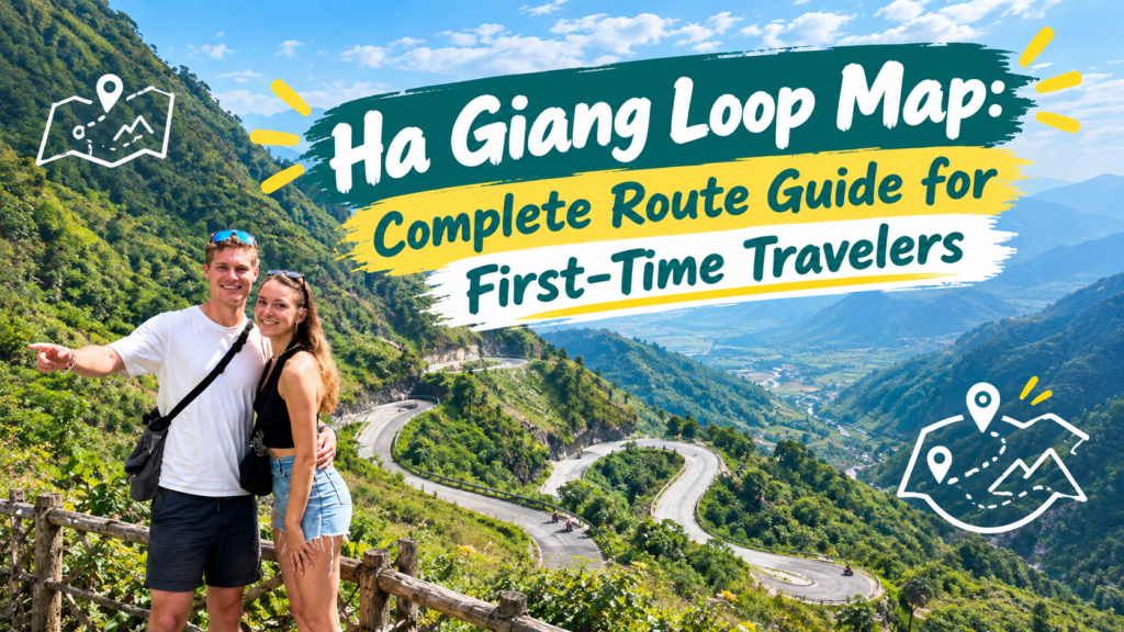
Ha Giang Loop Map is one of the most useful tools for travelers planning an adventure through northern Vietnam. It helps you understand the general route, the main mountain towns, the distance between stops and how the journey connects together.
Ha Giang Loop Map
The Ha Giang Loop is famous for its dramatic mountain scenery, winding roads, traditional villages and local cultural experiences. However, the route may look complicated if you are visiting for the first time.
You may have questions such as:
This Ha Giang Loop Map guide explains the route in a simple way. It also covers travel duration, important planning points, scenic stops, safety and how to choose a suitable tour with Tiem Tours.
The Ha Giang Loop Map shows a circular travel route through the mountainous region of northern Vietnam.

Ha Giang Loop Map
Most trips start and finish in Ha Giang City. From there, travelers follow mountain roads through different towns, valleys and viewpoints before returning to the starting area.
A common route is:
Ha Giang City → Quan Ba → Yen Minh → Dong Van → Ma Pi Leng Pass → Meo Vac → Du Gia → Ha Giang City
This is a general route rather than a fixed road plan. The exact itinerary can change depending on:
For this reason, the map should be used as a planning guide rather than a guarantee that every tour will follow the same roads.
The route can be understood through several main sections. Each section offers a different type of landscape and travel experience.

Ha Giang Loop Map
The journey normally begins in Ha Giang City.
This is where travelers may meet their guide or Easy Rider, check their motorbike and prepare their belongings before leaving.
The road gradually becomes more mountainous after leaving the city. Travelers can expect to see:
Quan Ba is often an early stop on the journey and introduces travelers to the scenery of the northern highlands.
This section continues through mountain roads and forested areas.
The landscape becomes quieter, with fewer large towns and more rural surroundings. Travelers may stop for photographs, lunch or short breaks along the way.
The actual route may vary, so it is useful to confirm the day’s plan with your guide before departure.
The road toward Dong Van passes through mountain scenery and local communities.
Dong Van is an important point on the Ha Giang Loop Map because many itineraries include an overnight stay here.
Travelers may use the evening to:
This is one of the most well-known sections of the route.
Ma Pi Leng Pass is famous for its dramatic mountain views, deep valleys and winding roads. Some viewpoints also offer views of the Nho Que River.
Because this is a mountain road, travelers should follow their guide’s instructions. It is important to stop only in safe areas and avoid standing too close to exposed edges.
After visiting the pass, many itineraries continue toward Meo Vac.
This area is surrounded by steep mountains and traditional communities. Depending on the itinerary, travelers may stop for food, photographs or a short rest.
The road may feel different depending on the weather. Fog, rain and low visibility can affect the experience.
Some longer tours continue toward Du Gia.
This area is known for its quieter atmosphere, green valleys and local homestay experiences. It is often included in longer itineraries because it gives travelers more time away from the busiest sections of the route.
The final part of the journey returns travelers to Ha Giang City.
The return route may not be exactly the same as the route taken at the beginning. Tour companies may choose different roads depending on road conditions, timing and the planned itinerary.
The map includes several important areas, but travelers do not need to memorize every road or village.

Ha Giang Loop Map
Ha Giang City is usually the starting and ending point. It is also where travelers may arrange transportation, meet their guide and prepare for the journey.
Quan Ba is commonly visited early in the trip. It is known for mountain views, valleys and scenic stops.
Yen Minh offers forests, rural roads and a quieter atmosphere. It may be used as a daytime stop or overnight location.
Dong Van is an important town for accommodation, food and access to nearby mountain attractions.
Ma Pi Leng Pass is one of the main scenic highlights. It is known for dramatic mountain views and winding roads.
Meo Vac is surrounded by mountain scenery and local communities. It is often included after the Ma Pi Leng section.
Du Gia is commonly included in longer trips. It offers a more peaceful atmosphere and opportunities to experience local village life.
These places are useful reference points on the Ha Giang Loop Map, but the best experience often comes from the road between them.
The number of days you need depends on your schedule, travel style and comfort level.

Ha Giang Loop Map
A two-day trip may suit travelers with limited time.
However, the schedule can feel busy because the journey needs to cover several mountain sections in a short period.
Possible disadvantages include:
A three-day trip is a common choice for first-time travelers.
It usually offers a balance between sightseeing, riding time and rest. Travelers can experience several major parts of the route without staying in the region for too long.
A three-day trip may be suitable for travelers who want:
A four-day trip gives travelers more time to enjoy the journey.
The extra day may allow:
You can explore the Ha Giang Loop Tour 4 Days 3 Nights if you prefer a longer itinerary.
A map is useful, but there are several details you should check before booking.
Confirm whether your tour begins in Ha Giang City or another location.
If you are traveling from Hanoi, ask whether transportation to Ha Giang is included.
The places where you stay each night affect the length of your riding days.
Ask the tour company:
The distance on a map does not always show how difficult the journey will be.
Mountain roads may take longer because of:
A realistic itinerary should include enough time for both riding and resting.
Make sure you know when and how you will return to Ha Giang City.
This is especially important if you have a bus or flight connection from Hanoi afterward.
For transportation planning, read How to Get to Ha Giang: Best Transport Options for Travelers .
The route includes many scenic areas, but travelers should focus on enjoying the landscape rather than trying to stop at every viewpoint.
Ha Giang Loop Map
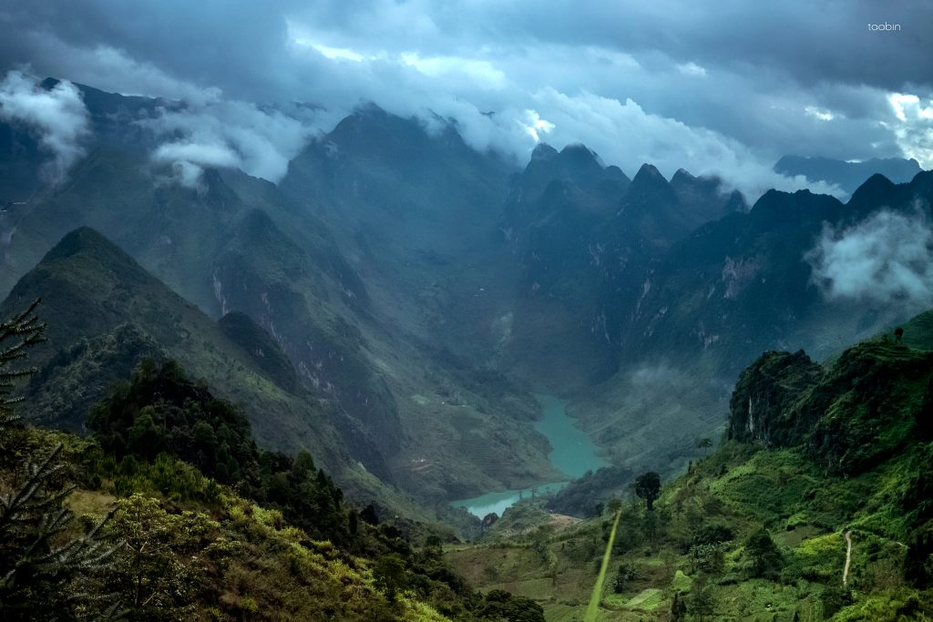
Mountain viewpoints offer wide views over valleys, roads and surrounding peaks.
Quan Ba and other mountain sections may include suitable places for photographs.
Ha Giang Loop Map
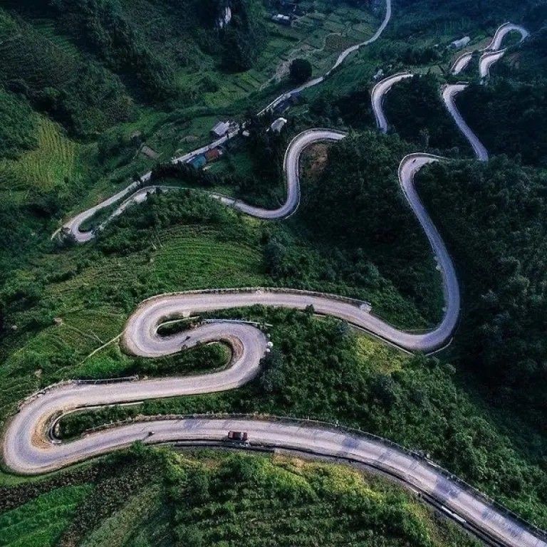
Ma Pi Leng Pass is one of the most recognizable scenic areas on the route.
It is especially popular for travelers who want to photograph the mountain landscape and winding roads.

Ha Giang Loop Map
Some viewpoints provide views of the Nho Que River below the mountain roads.
The exact viewing location depends on the itinerary and current access conditions.

Ha Giang Loop Map
The roads between major towns may pass through rural villages, farms and traditional houses.
These areas can provide a more personal view of local life than large tourist attractions.
When taking photographs, always respect local people and ask for permission before photographing individuals.
The route can be physically demanding, especially for travelers who are not used to long motorbike journeys.
Possible challenges include:
The difficulty depends on the weather, itinerary, driver and travel style.
A shorter trip may still feel tiring if the schedule is too concentrated. A longer itinerary may provide more time for rest and scenic stops.
Your travel style affects how you should use the Ha Giang Loop Map.

Ha Giang Loop Map
Self-riding may suit travelers who:
The Ha Giang Loop is more challenging than riding around a city. Before choosing this option, check the legal requirements and your travel insurance.
An Easy Rider is a local driver who operates the motorbike while you sit behind as a passenger.

Ha Giang Loop Map
This option may be suitable for travelers who:
With an Easy Rider, you can focus more on the landscape instead of navigating every turn yourself.
Read more in Self-Riding vs Easy Rider on the Ha Giang Loop .
A map cannot show every road risk, so travelers should also prepare for changing conditions.
Before starting the journey:
If you choose an Easy Rider, ask about the driver’s experience and the motorbike condition before departure.
For more details, read Ha Giang Easy Rider Safety: A Practical Guide for a Safer Trip .
You should pack light because you will spend several hours on a motorbike.

Ha Giang Loop Map
Useful items include:
The weather can change between valleys and mountain passes, so layered clothing is useful.
A waterproof bag can also protect your phone, passport and other important belongings.
Tiem Tours offers travel experiences for visitors who want to explore Ha Giang through mountain roads, local communities and cultural experiences.

Ha Giang Loop Map
When planning your trip, you can compare different options based on:
Before booking, make sure you understand:
Visit the official Tiem Tours Ha Giang to explore available tour options.
If you prefer a smaller travel group, you can also read Small Group Ha Giang Loop Tour: Why More Travelers Are Choosing Smaller Groups .
Most trips start in Ha Giang City.
Many itineraries return to Ha Giang City, although the return road may be different from the starting route.
Yes. It is generally planned as a circular journey through the northern mountain region.
Some tours offer two-day itineraries, but the schedule may be busy and involve longer riding hours.
Three days can be a practical choice for first-time travelers who want to experience the main highlights.
No. A map is only one part of preparation. You also need riding experience, legal documents, navigation tools and awareness of road conditions.
Yes. An Easy Rider rides the motorbike while you sit behind and enjoy the journey.
No. The route may change depending on weather, road conditions, accommodation and the number of travel days.
The Ha Giang Loop Map helps travelers understand the general route through northern Vietnam. It shows how the journey connects Ha Giang City with mountain areas, scenic passes, local towns and peaceful valleys.

Ha Giang Loop Map
The most common route includes Ha Giang City, Quan Ba, Yen Minh, Dong Van, Ma Pi Leng Pass, Meo Vac and Du Gia. However, the exact itinerary may change depending on the tour company and current road conditions.
Before booking, choose a suitable number of days, check the daily riding time and decide whether self-riding or an Easy Rider is more comfortable for you.
If you want to explore the region with local support, visit Tiem Tours Ha Giang and review the available itineraries.
With a clear plan and realistic expectations, the Ha Giang Loop can become one of the most memorable journeys of your Vietnam adventure.
Ha Giang Loop experience
16/09/2026
Ha Giang Loop experience
15/09/2026

Ha Giang Loop experience
15/09/2026

Ha Giang Loop experience
14/09/2026

Ha Giang Loop experience
14/09/2026

Ha Giang Loop experience
13/09/2026

Ha Giang Loop experience
13/09/2026

Ha Giang Loop experience
11/09/2026

Ha Giang Loop experience
11/09/2026

Ha Giang Loop experience
08/09/2026

